Begho Area Archaeological Project (BAAP)
Year: 2018
Archaeological Sites
Begho-Hani
The site was an urban-settlement with a population of approximately 7000-10000 people. It was organized into six distinct quarters namely the Brong quarter, the Kramo quarter, the market quarter, the Nyarko quarter, the Dapaa and the Dwinfuor quarter.
Subsites (Locus) covered
Excavations
Site Covered: Brong Quarter (B2)
Excavation Date: Jan. 6, 2020
Excavation Duration (in days): 20
Excavation Coordinates: N 7┬░50┬┤36.4", W 02┬░27┬┤32.2"
Excavation Procedure: A courtyard mound measuring 21m by 26m with a height of approximately 2.72m was selected for excavation. A trench measuring 2m by 10m, oriented in the south-north direction, was dug across the mound, extending from its crest to its depression. Excavation began at arbitrary levels of 20cm. All deposits were excavated by hand using trowels or small handpicks for compact materials. A 20mm mesh sieve was used to ensure optimal recovery of artifacts and fragmentary materials. Special and fragile finds were bagged in clear zip-lock bags, while ceramics, which comprised the majority, were bagged in black polythene bags. The excavation revealed four main cultural layers and a fifth layer that did not contain any cultural material. There were clear traces of collapsed wall material and a wall stump (W 01) constructed into the natural laterite platform, extending 0.90m deep and stretching from the north-western to the north-eastern part of the trench. To verify if the trench had reached sterile soil, a 1m x 1m unit was excavated in the middle part of the trench. This test-pit, excavated to a depth of 18cm (from 260cm to 278cm), revealed no cultural materials, only a reddish laterite natural layer.
Artifacts Recovered: Ceramics, smoking pipes, faunal remains, metal objects (iron and copper), beads, crucibles, and flakes.
Surface Surveys
Locus: Nyarko (NY1)
Method: Reconnaissance survey
Technique: Radial surveying technique (spokes)
Observations: In total, twenty-eight (28) mounds, two (2) courtyard or compound mounds, and three (3) middens were identified and mapped. These features are all collapsed house mounds or habitation mounds.
Surface Configuration: ceramics, bones and pipes
Comments: Partially habited, forest vegetation, farming (cashew, maize, vegetable etc)
Locus: Dwinfour Quarter
Method: Reconnaissance survey
Technique: Radial surveying technique (spokes)
Observations: In all twenty-two (22) mounds, twenty (20) courtyard mounds, one (1) midden, two (2) ironworking sites and one (1) shrine was identified.
Surface Configuration: ceramics, slag, tuyere, furnace remains, smoking pipe, crucibles etc
Comments: Encroachment of settlements. Most of the sites are in the compounds of peopleΓÇÖs houses and schools.
Locus: Mumute
Method: Reconnaissance survey
Technique: Radial surveying technique (spokes)
Observations: A total of 7 mounds were identified and mapped. The site is located South-East of the Hani township.
Surface Configuration: Lithic, quartz, axe, rasp, ceramic, daub
Comments: Site discovered by road cutting, forest vegetation.
Locus: Atwetwebooso
Method: Reconnaissance survey
Technique: Radial surveying technique (spokes)
Observations: Several fragments of iron, furnace wall, tuyeres, charcoal, ceramics, and lateritic stones were observed along the untarred road that runs through the site.
Surface Configuration: Daub, furnace remains, tuyere, slag, quartz, ceramics
Comments: A brief survey suggests the site may provide valuable insights into the Early Iron Age in Ghana. Significant ironworking activity is indicated by the presence of slag, tuyeres, and lateritic outcrops. The site dates to the 2nd century AD and is the second earliest known ironworking site in Ghana.
Locus: Brong Quarter (B1)
Method: Reconnaissance survey
Technique: Radial surveying technique (spokes)
Observations: Twenty-five collapsed house mounds, twenty-nine courtyard mounds, one Kapok tree, and three Borassus palms were observed. A local farmer discovered skeletal remains while creating mounds for yam cultivation.
Surface Configuration: Ceramics, bones, pipes
Comments: The site features large courtyard mounds and is used for farming crops like yam, cassava, cashew, and plantain. It is a significant area for studying medieval Akan burial practices, especially due to its "royal" quarter status in Begho, offering insights into social stratification and cultural practices.
Locus: Brong Quarter (B2)
Method: Reconnaissance survey
Technique: Radial surveying technique (spokes)
Observations: A total of 42 mounds and 9 courtyard mounds were observed and mapped, with average heights ranging from 2.61m to 2.8m.
Surface Configuration: Ceramics, bones, pipes
Comments: In the 1970s, Crossland excavated a large house mound at the B2 site, linking ceramics to local smoking pipes dated to the late 17th century. The survey yielded a local smoking pipe, two ivory side-blown trumpets, and offering bowls.
Locus: Kramo Quarter
Method: Reconnaissance survey
Technique: Radial surveying technique (spokes)
Observations: The survey identified 17 mounds, 23 courtyard mounds, and one supposed mihrab. Mounds average between 2.69m and 2.9m in height, with clustered mounds covering dimensions of approximately 300m x 250m and 220m x 200m.
Surface Configuration: Ceramics, pipes, bones
Comments: The mosque, evidenced by lateritic boulders (Mehrab), highlights a cultural feature. Discussions suggest many mosques in the region utilize lateritic boulders as their Mehrab, which could have significant implications for local architectural studies.
Methodologies
Project Data
| Name | Category | Type | Site | Subsite | Image |
|---|---|---|---|---|---|
| Fragmented Smoking Pipes | Artifact | None | Begho-Hani | Brong Quarter (B2) |

|
| Trench 1, Brong Quarter (B1) | Stratigraphy | None | Begho-Hani | Brong Quarter (B2) |

|
| Local Smoking Pipe | Artifact | None | Begho-Hani | Brong Quarter (B2) |

|
| Flat-based smoking pipe. | Artifact | None | Begho-Hani | Brong Quarter (B2) |

|
| Smoking Pipe | Artifact | None | Begho-Hani | Brong Quarter (B2) |

|
| Smoking pipes | Artifact | None | Begho-Hani | Brong Quarter (B2) |

|
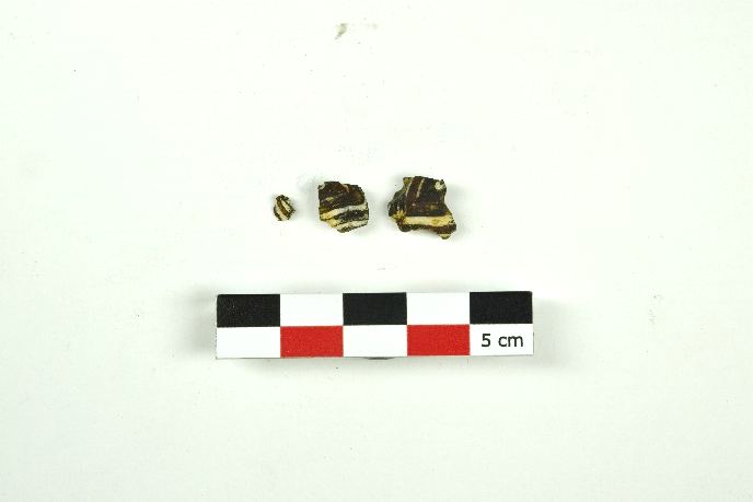
| Design painted pottery | Artifact | None | Begho-Hani | Brong Quarter (B2) |

|
| Begho ware pottery (Finger thumb impressions) | Artifact | None | Begho-Hani | Brong Quarter (B2) |

|
| Micaceous ware Pottery | Artifact | None | Begho-Hani | Brong Quarter (B2) |

|
| Begho ware pottery (Punctuation with grooves) | Artifact | None | Begho-Hani | Brong Quarter (B2) |

|
| Begho ware Pottery (Red Slipped) | Artifact | None | Begho-Hani | Brong Quarter (B2) |

|
| Begho Ware Pottery (Stamp impressions) | Artifact | None | Begho-Hani | Brong Quarter (B2) |

|
| Bono ware Pottery (Rising sun Motif) | Artifact | None | Begho-Hani | Brong Quarter (B2) |

|
| Volcanic Ash-tempered Pottery | Artifact | None | Begho-Hani | Brong Quarter (B2) |

|
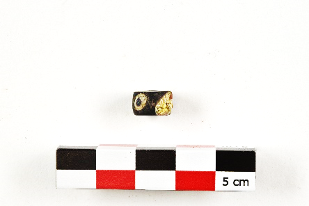
| Islamic eye beads | Artifact | None | Begho-Hani | Brong Quarter (B2) |
|
| Glass cane bead | Artifact | None | Begho-Hani | Brong Quarter (B2) |
|
| Glass beads | Artifact | None | Begho-Hani | Brong Quarter (B2) |
|
| Glass beads | Artifact | None | Begho-Hani | Brong Quarter (B2) |
|
| Glass tubular bead | Artifact | None | Begho-Hani | Brong Quarter (B2) |
|
| Islamic beads/folded Islamic glass beads | Artifact | None | Begho-Hani | Brong Quarter (B2) |
|
| Ceramic disk Gold (weight) | Artifact | None | Begho-Hani | Brong Quarter (B2) |

|
| Drain pipes | Artifact | None | Begho-Hani | Brong Quarter (B2) |

|
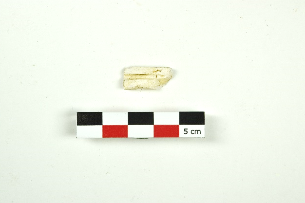
| Bead Polisher | Artifact | None | Begho-Hani | Brong Quarter (B2) |

|
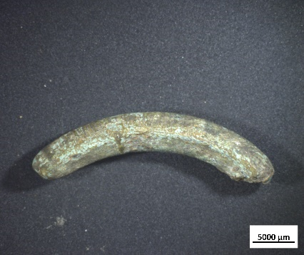
| Horse tooth | Faunal Remains | None | Begho-Hani | None |

|
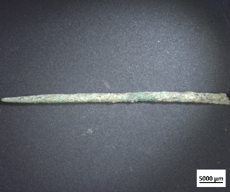
| Chisel | Artifact | None | Begho-Hani | None |

|
| Copper object 1 | Artifact | None | Begho-Hani | Brong Quarter (B2) |
|
| Copper object 2 | Artifact | None | Begho-Hani | Brong Quarter (B2) |
|
| Copper object 3 | Artifact | None | Begho-Hani | Brong Quarter (B2) |
|
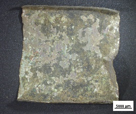
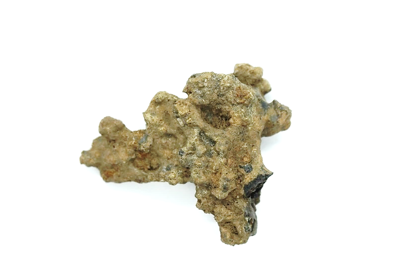
| Copper Slag | Artifact | None | Begho-Hani | Brong Quarter (B2) |
|
| Iron Slag 1 | Artifact | None | Begho-Hani | Brong Quarter (B2) |

|
| Iron Slag 2 | Artifact | None | Begho-Hani | Brong Quarter (B2) |

|
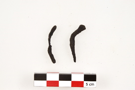
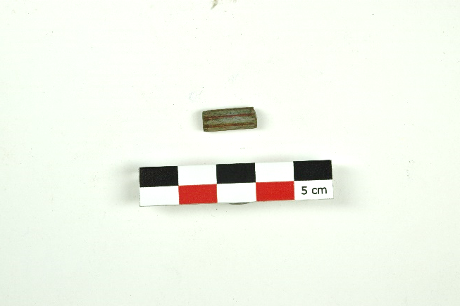
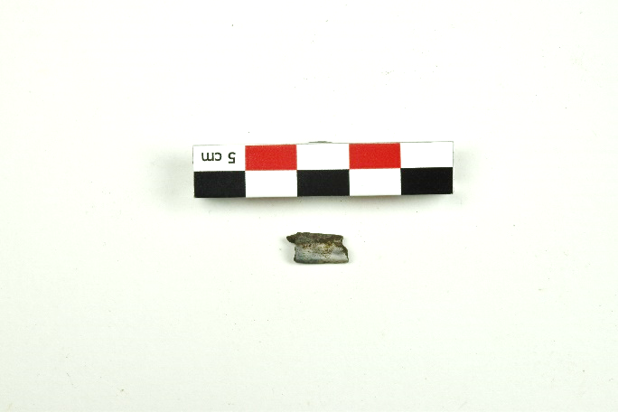
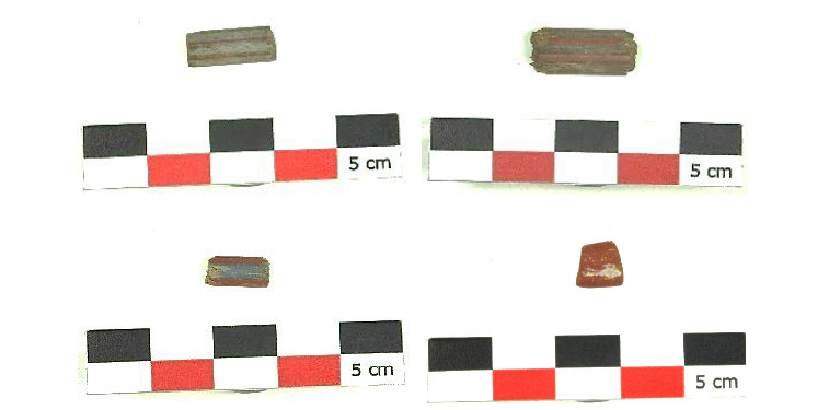
| Knife | Artifact | None | Begho-Hani | Brong Quarter (B2) |

|
| Nails | Artifact | None | Begho-Hani | Brong Quarter (B2) |
|
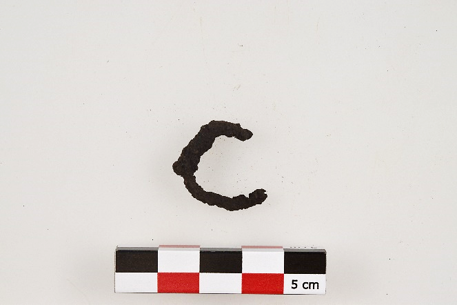
| Ring | Artifact | None | Begho-Hani | Brong Quarter (B2) |
|
| Some knives, arrowhead and nail | Artifact | None | Begho-Hani | Brong Quarter (B2) |

|
| Knive | Artifact | None | Begho-Hani | Brong Quarter (B2) |

|
| Begho ware pottery (incisions and grooves) | Artifact | None | Begho-Hani | Brong Quarter (B2) |

|
| Begho ware Pottery (Roulette) | Artifact | None | Begho-Hani | Brong Quarter (B2) |

|
| Begho ware pottery (Roulette) | Artifact | None | Begho-Hani | Brong Quarter (B2) |

|
| Begho ware pottery (wavy line carved impression) | Artifact | None | Begho-Hani | Brong Quarter (B2) |

|
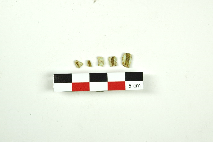
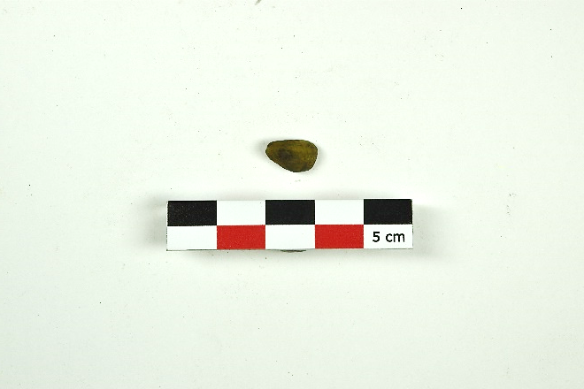
| Beads | Artifact | None | Begho-Hani | Brong Quarter (B2) |
|
| Glass Beads | Artifact | None | Begho-Hani | Brong Quarter (B2) |
|
| Beads | Artifact | None | Begho-Hani | Brong Quarter (B2) |

|
| Beads | Artifact | None | Begho-Hani | Brong Quarter (B2) |

|
| Beads | Artifact | None | Begho-Hani | Brong Quarter (B2) |

|
| Beads | Artifact | None | Begho-Hani | Brong Quarter (B2) |

|
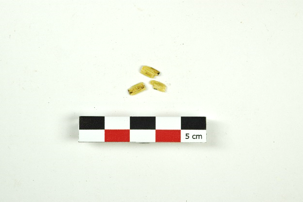
| Four (4) 17th century AD glass beads | Artifact | None | Begho-Hani | Brong Quarter (B2) |
|